
Geological Survey of Canada
Canada’s governments depend on geoscience to inform policy, manage the country’s landmass and develop its natural resources responsibly. The Geological Survey of Canada (GSC) is the national organization for geoscientific information and research. Our work supports exploration and decision-making in the mining and energy sectors as well as national sovereignty, hazards risk management and more. If you work in any of these areas, access the data and resources you need to make informed investments and land-use decisions.
Focus areas
Minerals
The Targeted Geoscience Initiative is providing the Canadian mineral industry with the next-generation of geoscience knowledge, innovative techniques and predictive models.
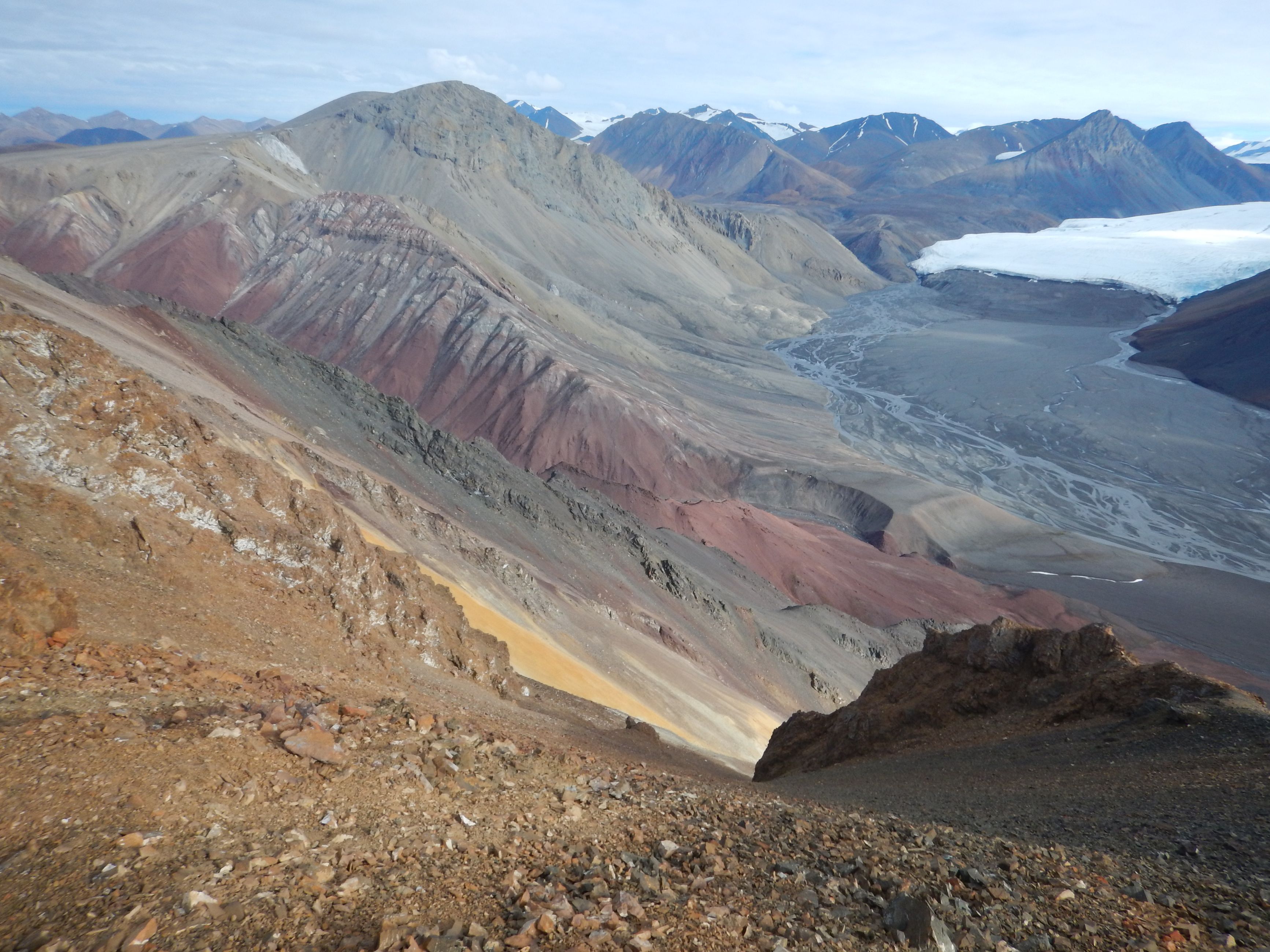
Geoscience for the North
Research from our GEM-GeoNorth program can help you assess the potential of geological and mineral resources, conduct environmental assessments and or make land-use decisions in Canada’s North.
Climate change
We monitor climate change’s effects on Canada’s permafrost, glaciers and sea levels. Use our tools to inform adaptation strategies for coastal infrastructure and communities, permafrost regions, and transportation routes and northern resource development.
Marine and coastal
Canada has the world’s longest coastline. We research its offshore landmass, evaluate natural resource potential and assess natural hazards. Access data about the geological composition, environmental sensitivity and seismic activity in these areas.
Hazards and public safety
Learn about space weather, earthquakes, tsunamis, volcanoes and landslides, and their related risks. Use our information to guide land-use decisions, develop emergency plans and inform the location and design of new structures.
Groundwater and aquifers
Groundwater provides water to a third of all Canadians and 80% of the rural population, but it’s under threat in some regions. We assess the main regional aquifers in Canada, and you can use our data to support your groundwater-related decisions.
Energy resources
We can help you respond to the growing demand for sustainably and responsibly extracted lower-carbon and renewable energy resources. Use our data to make evidence-based decisions about land use and environmentally sound energy resource development.
Geoscience tools and data
If you work in mineral exploration, land use or infrastructure management or other fields that require knowledge about Canada’s geology, access tools and data to help you in your work.
Geoscience maps
Access geoscientific maps by topic within the GEOSCAN database, Canada’s Open Government Platform or other Government of Canada web pages.
Geoscience publications
Access geoscientific records by topic or search by keyword, author, region and other categories. Find reports, technical notes, published articles, presentations, posters and more.
Resources
Tools and data
- Permafrost Information Network (PIN)
PIN connects permafrost data including geotechnical borehole databases and surficial geology maps. View data over a map of Canada. Select a borehole to display geotechnical, ground ice and ground thermal information. Download select data or complete databases. - Groundwater Information Network (GIN)
Use GIN to improve your knowledge of groundwater systems and enhance groundwater management. It includes water well databases, water monitoring data, aquifer and geology maps and related publications. - Show me all geoscience tools and data
Critical research
- A new geomorphologic feature mapping methodology
Thawing permafrost can affect infrastructure. We used a stretch of the Dempster and Inuvik-to-Tuktoyaktuk highways to develop a mapping methodology. Read on to see if you can apply the approach to your permafrost terrain or hazard mapping project. - High-resolution elevation models help predict lake depth and probability of open taliks
Open taliks (unfrozen areas beneath deep lakes) can affect the transport of contaminants in mining projects. This one pager presents the results of a study to predict maximum lake depth. - See all geoscience publications
Featured
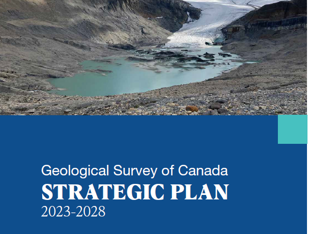
Our strategic plan sets a 5-year vision for the GSC, and our annual reports showcase recent science successes. Read about how the GSC’s scientific research is supporting critical mineral supply chains, evidence-based onshore and offshore land management, climate and disaster resilience, and more.
.jpg)
Since 1842 the Geological Survey of Canada has produced cutting-edge, authoritative geoscience to support mineral exploration, climate change research, marine and coastal resilience, and natural hazards mapping. Hear more about our multi-faceted and modern approach to geoscience in Canada
Your digital home for everything science from Natural Resources Canada. Informative articles, podcasts and videos
Contact us
See our Executive Directors and program leads. Have questions? Interested in collaborating with us? Reach out by email.
Page details
- Date modified: