
Answer to question 6

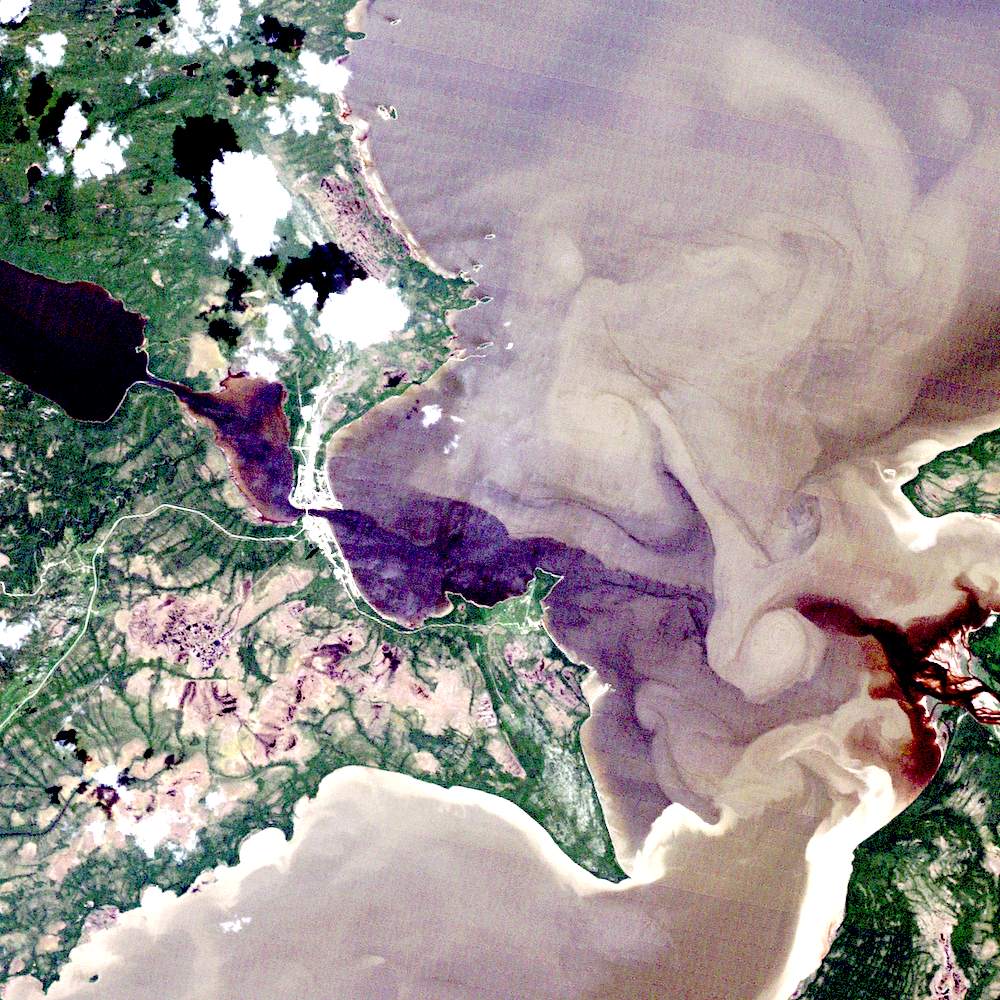
satellite image: North West River, Labrador, LANDSAT TM
Did You Know?
There are interesting patterns on both the land and water portions of this image. The land-based patterns (bottom left) are due to wetland vegetation types and distribution. The water-based swirling patterns are due to the confluence of three large rivers, and show up because of the very high suspended sediment loads carried by these rivers.
Page details
- Date modified: