
Teachers
For Teachers
The target audience for this education kit is youth, ages eleven to fifteen, though teachers may find some activities suitable for younger children. Here is a preview of what to expect when you download our education kit.
For additional examples of satellite imagery, tutorials at advanced levels, glossary of terminology and research papers, visit the education section of the Canada Centre for Remote Sensing web site.
Remote sensing has relevance to other disciplines: geography, cartography, environmental studies, geology, hydrology, agriculture, forestry, and urban studies to name a few. Therefore, in approaching the activities included here, students will be introduced to some rudimentary concepts in these other fields.
Other Resources
The CCRS Web Site has many sources of information for both teachers and students. A few of these are:
- Tour Canada from Space
- The CCRS Remote Sensing Glossary
- Fundamentals of Remote Sensing Tutorial
- Radar & Stereoscopy Tutorial
- Atlas of Canada
- RADARSAT Applications in Action
Description of the activity pages
| Activity Sample Pages |
Description of Activity | Skills Development |
|---|---|---|
|
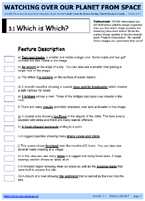
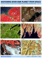
3.1 Which is Which? ... Becoming familiar with the appearance of features (colour, shape, size, texture, etc.) in satellite imagery | Matching images with a description of features |
|
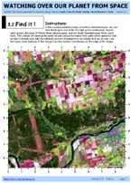
3.2 Find it! ...Becoming familiar with the use of cartesian coordinates and the appearance of features in satellite imagery | Finding and determining the location of features on an image |
|
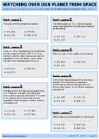
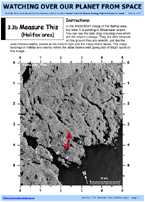
3.3 (a & b) Measure This ... Recognizing features and measuring distances | Measuring distances, feature recognition, determining direction |
|
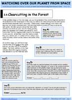
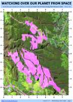
3.4 Clearcutting in the Forest ...Monitoring a logging operation | Aligning an image and a map; measuring area |
|
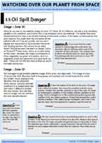
3.5 Oil Spill Danger ... Measuring and monitoring the motion of an oil slick | Measuring area, distance, speed and direction of movement (predicting change over time) |
|
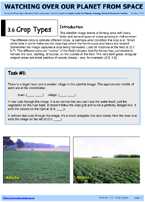
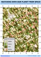
3.6 Crop Types ...Identifying crop types, other rural features and assessing flood damage. | Using an interpretation key to match features; position analysis |
|
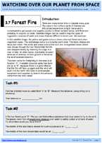
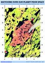
3.7 Forest Fire ...Becoming familiar with the strategies of fighting forest fires | Measuring distances; identifying routes; feature recognition |
|
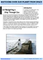
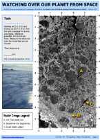
3.8 Navigating a Ship Through Ice ...Using a satellite image to navigate a ship through ice | Determine the best route and measure its distance |
|
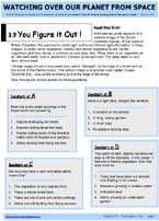
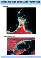
3.9 You Figure it Out ... Interpreting an image with coastal features | Multiple choice questions using image reading skills and contextual logic |
|
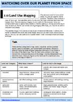
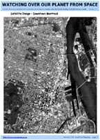
3.10 Urban Land Use ... Identifying urban land use and colouring a land use map | Recognizing urban features in a satellite image from written descriptions |
|
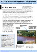
3.11 At a Mine Site ...Observing the activity at a mine site using remote sensing imagery | Finding similar features on an image |
|
3.12 A Different Perspective ... Matching oblique aerial photographs to corresponding satellite images | Comparing low-altitude oblique views to high-altitude vertical views |
Page details
- Date modified: