
Long Term Satellite Data Records (LTSDR)
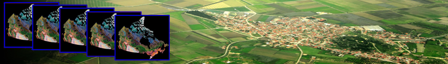
By innovatively combining satellite images from various visible-infrared sensors, the Canada Centre for Mapping and Earth Observation scientists have created consistent national scale cloud free mosaics of Canada that span decades. Raw satellite observations are converted into geophysical variables through a variety of complex processing steps. The resultant Long Term Satellite Data Records (LTSDRs) have high radiometric consistency, allowing the identification and monitoring of changes in land surface at high frequency (every 1-10 days) over the entire Canadian landmass.
These products have proven to be invaluable for land surface monitoring in support of assessments and prediction of weather, climate, biochemical cycling, hydrology, wildlife habitat, ecological status and trends. The LTSDRs can be further processed to derived indicators such as albedo, snow cover, land cover, forest cover, leaf-area index (LAI) and others.
LTSDRs can be accessed within the Earth Observation Data Management System and further descriptions of their use can be found under Long Term Satellite Data Records in Use.
Page details
- Date modified: