
Question 6
larger image
Question
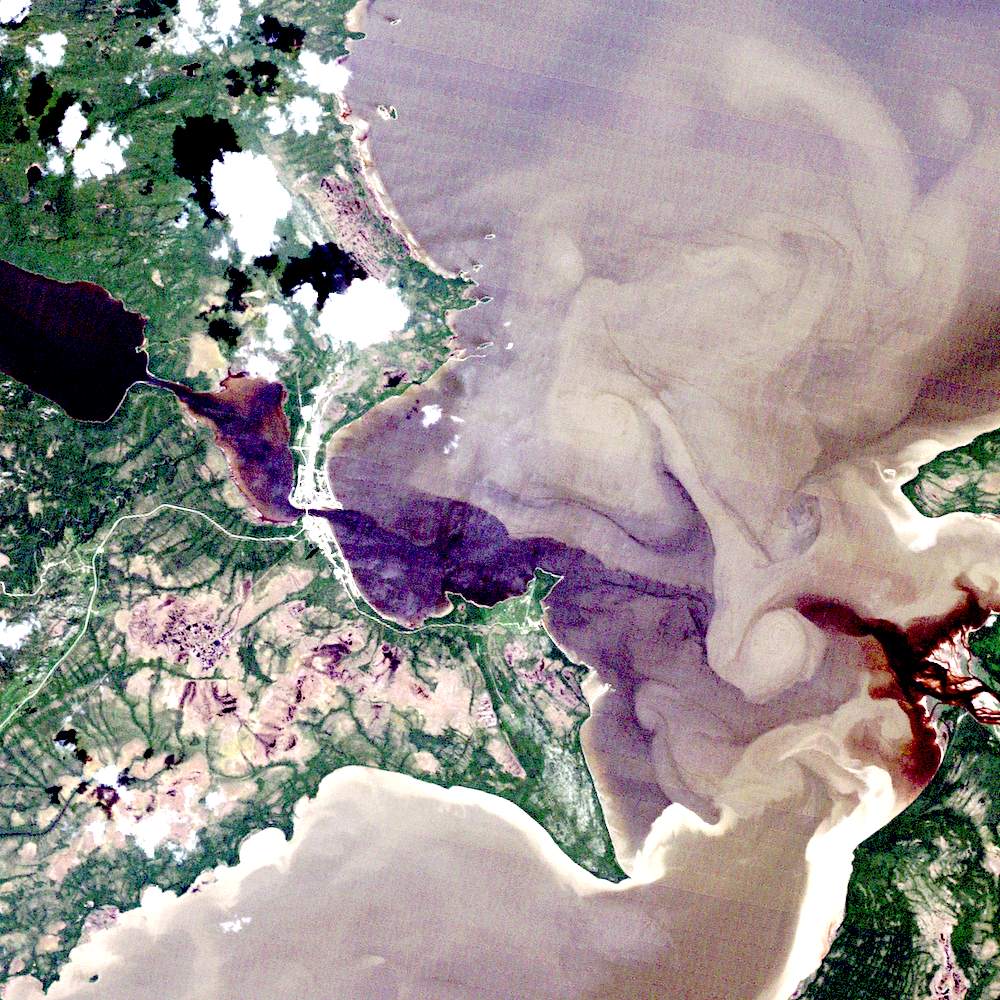
Find the one bridge in this image segment
To find the bridge, you first have to recognize which patterns are land and which are water!
Where does the land begin and the water end? In most satellite images, the land-water boundary is quite distinct. Here, the shoreline can be quite obvious, if you realize that the water is very turbid. The high sediment load makes the surface water a stronger than usual reflector (the applied enhancement exacerbates this). Use the edge of the green vegetation to help you find the shoreline.
Image Information
North West River, Labador
LANDSAT TM
Page details
- Date modified: