
Virtual Exhibit - Canadian Symposium on Remote Sensing
Canadian Symposium on Remote Sensing
Welcome to Natural Resources Canada's virtual exhibit at the 42nd Canadian Symposium on Remote Sensing, June 21-24, 2021
About us
At the Canada Centre for Mapping and Earth Observation (CCMEO), Natural Resources Canada (NRCan), our vision is to demonstrate the social and economic value of geospatial data, through driving insight, innovation and investment in geospatial capabilities and technologies in Canada, working across the public and private sectors.
Within CCMEO, the Canada Centre for Remote Sensing (CCRS) is Canada's Centre of Excellence in remote sensing science, sensors, data applications, satellite service support, and satellite data reception, archive and access.
 CCRS scientists conduct research, deliver remote sensing science and expertise, and develop new applications for remotely sensed data. Learn more about CCRS.
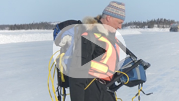
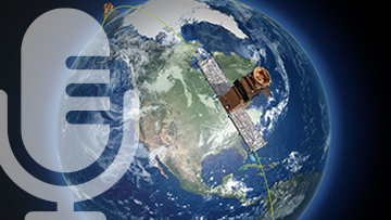
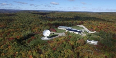 At satellite station facilities strategically located across Canada, CCRS engineers and technical staff support Canadian Earth observation and science satellite missions by providing satellite tracking, telemetry and control (TT&C) services, data reception, data archiving and access. Learn more about our Satellite receiving stations.
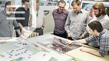
 CCMEO at CSRS 2021: Workshops, sessions and presentations
See conference program for dates and times.
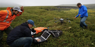
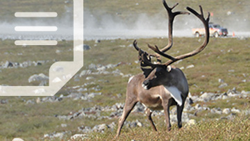
Special Session: Earth Observation for Wildlife Habitat Mapping, Monitoring, and Conservation
The application of EO data for wildlife habitat mapping can be valuable for many conservation efforts both large and small in scale. Presentations in this session will address the application of EO/remote sensing data for wildlife habitat mapping, monitoring, and conservation.
Session Chairs:
Evan Delancey, Alberta Biodiversity Monitoring Institute, University of Alberta and Brian Brisco, Canada Centre for Remote Sensing, Natural Resources Canada
Keynote Session: Looking Back and Moving Forward: 50 Years of Innovation at CCRS
Thursday, Jun 24th, 2021 from 15:45 – 16:15 (MT)
The Canada Centre for Remote Science (CCRS) is Canada’s Centre of Excellence in remote sensing science, sensors, and data. Since its establishment in 1971, CCRS and its staff have a remarkable record of accomplishments in technology, science, applications, industrial development, international collaboration and other areas.
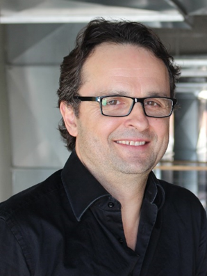
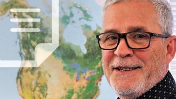
Join Mathieu Benoit, Director of CCRS for a talk highlighting some of the most significant scientific achievements in the 50-year history of the organization, including an overview of our current research priorities and a discussion on our future direction – to ensure another 50 years of success.
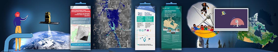
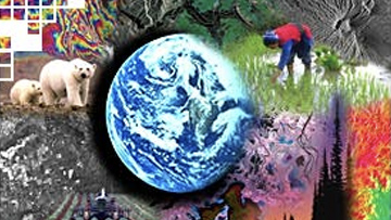
Imagery and geospatial data
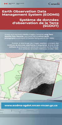
Earth Observation Data Management System
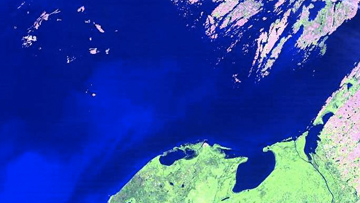
Access and download satellite imagery, including Long Term Satellite Data Records, and more than 6 million aerial photographs covering all of Canada dating back to the 1920s.
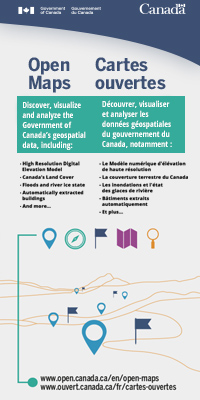
Discover, visualize, and analyze the Government of Canada`s geospatial data on Open Maps, including:
Open Science and Data Platform
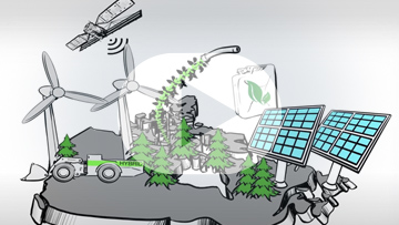
The Open Science and Data Platform provides access to environmental data and scientific publications that can be used to understand the cumulative effects of human activities.
Scientific publications
Search NRCan Remote Sensing Publication
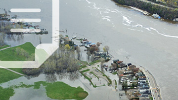
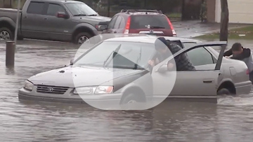
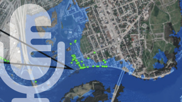
Federal Flood Mapping Guidelines Series
Articles, videos and podcasts
Articles
Videos
Podcasts
Remote sensing educational resources

Page details
- Date modified: