
Coastal research in the Arctic photo gallery
Click on an image to view a larger size. Photo credit: Weronika Murray
We are looking at the unique interaction of waves on frozen coastlines. St. Mary’s MSc student (Francois Malenfant) shown here installing a time-lapse camera on Pelly Island, Northwest Territories.
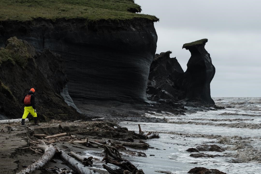
The western Canadian Arctic has one of the most rapidly changing coastlines in the country. Our research is examining how climate change is affecting this vulnerable coastline. Two days after this photo was taken the large pinnacles shown in the photo were washed out to sea.
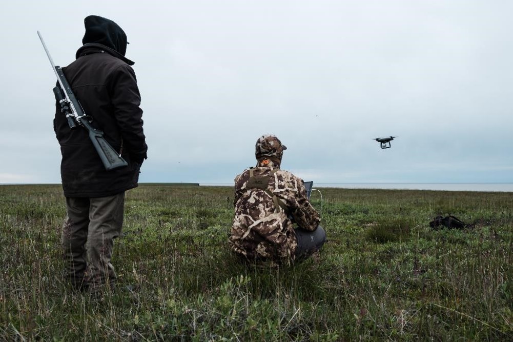
Drones have become an invaluable tool for NRCan’s coastal research in the Arctic. They provide an unprecedented view of the coast and dramatic change. Another important tool in Arctic research is the guidance and knowledge of locals. The photo above shows Sam Gruben (from Tuktoyaktuk) standing up watching over the drone operations along the coast.
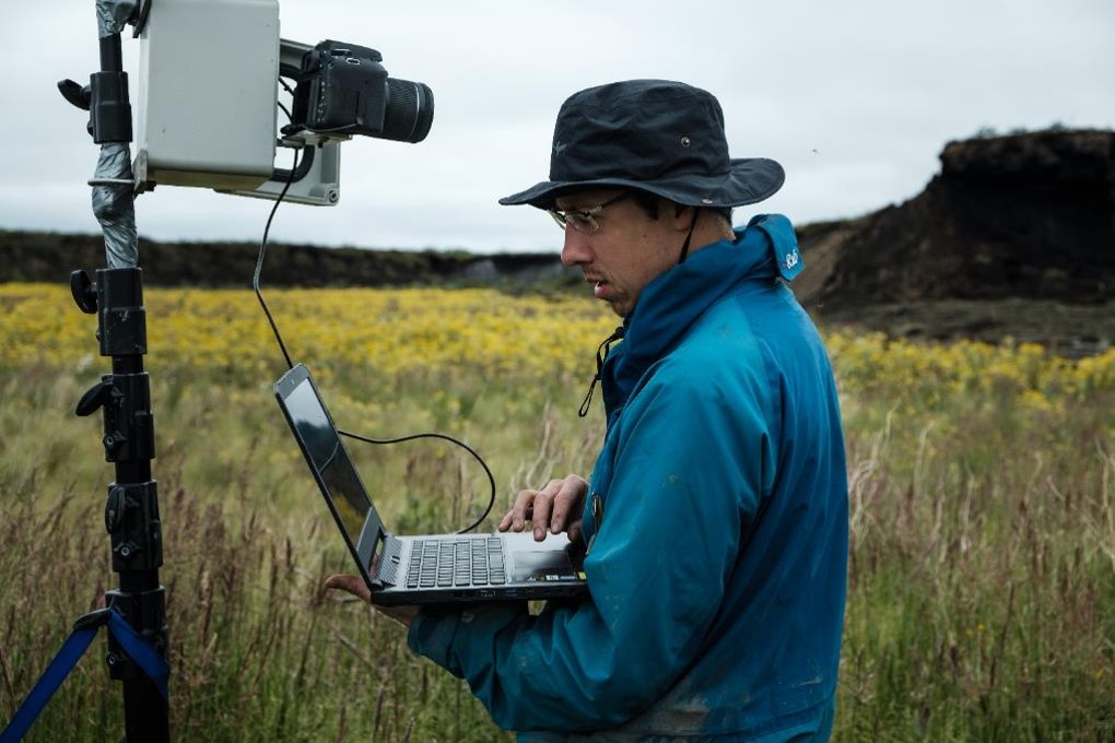
We are working with partners like Mike Lim (Northumbria University) to better understand the impacts of climate change on the coast. Here Mike is setting up a thermal camera that will measure the impacts of the solar radiation on ice-rich cliffs as they change on an hourly, daily and monthly time scale.
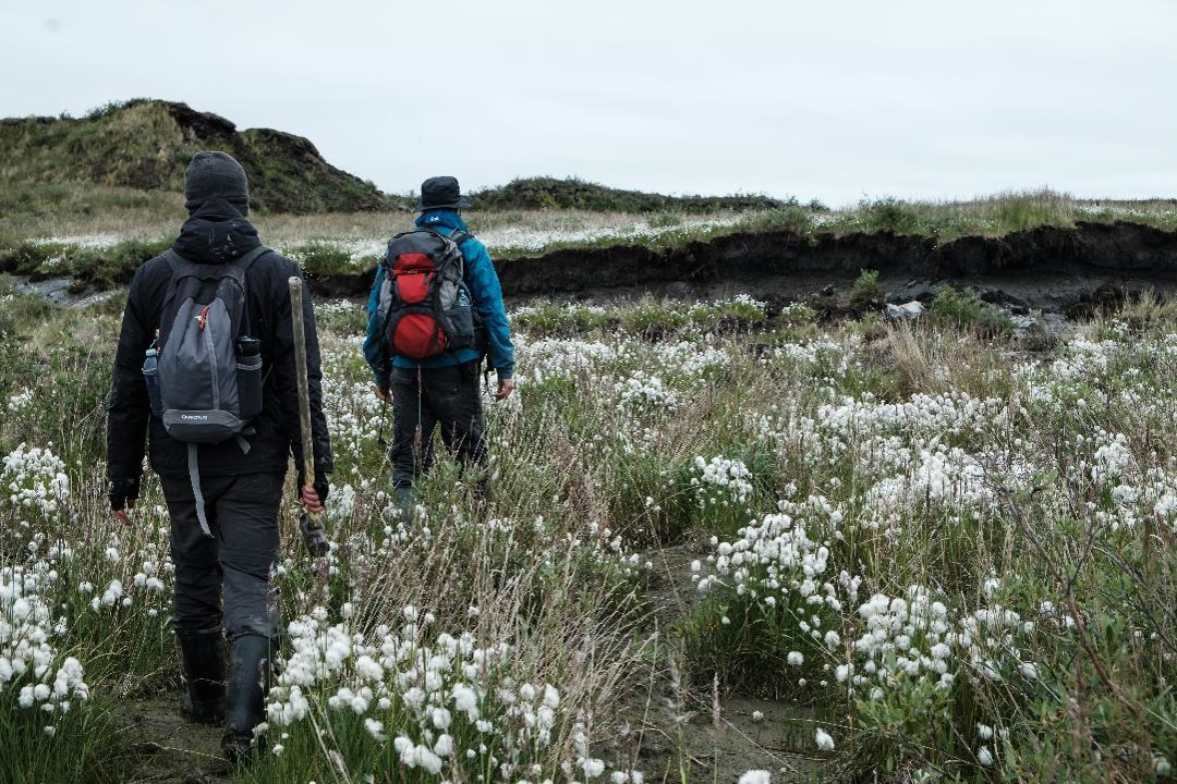
Scientists walking between the hearty Arctic flora and fauna, which seems at times to thrive despite the harsh environmental conditions. This photo was taken in the Pingo Canadian Landmark — a Parks Canada landmark site that is home to the Ibyuk Pingo.
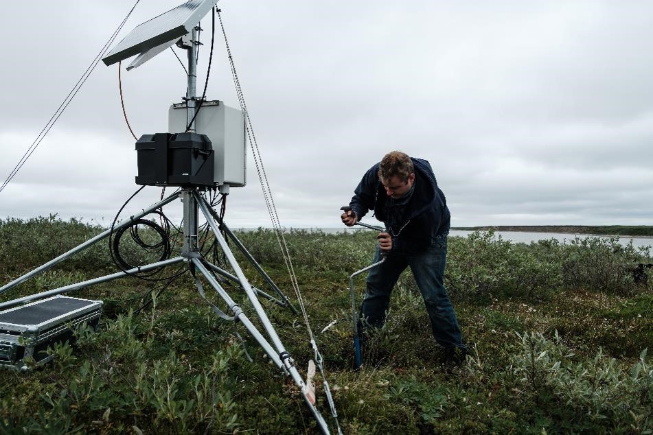
A collaboration between Natural Resources Canada and Fisheries and Ocean Canada has allowed for the installation of a coastal observatory in Kugmallit Bay, Northwest Territories. Scientist Dustin Whalen is adding ground temperature to the station that already records wind amplitude, air temperature, water temperature and salinity and water depth combined with time-lapse video and still photography. This data is publically accessible for local travellers and has provided valuable baseline information on environmental conditions related to coastal landscape change in today’s climate.
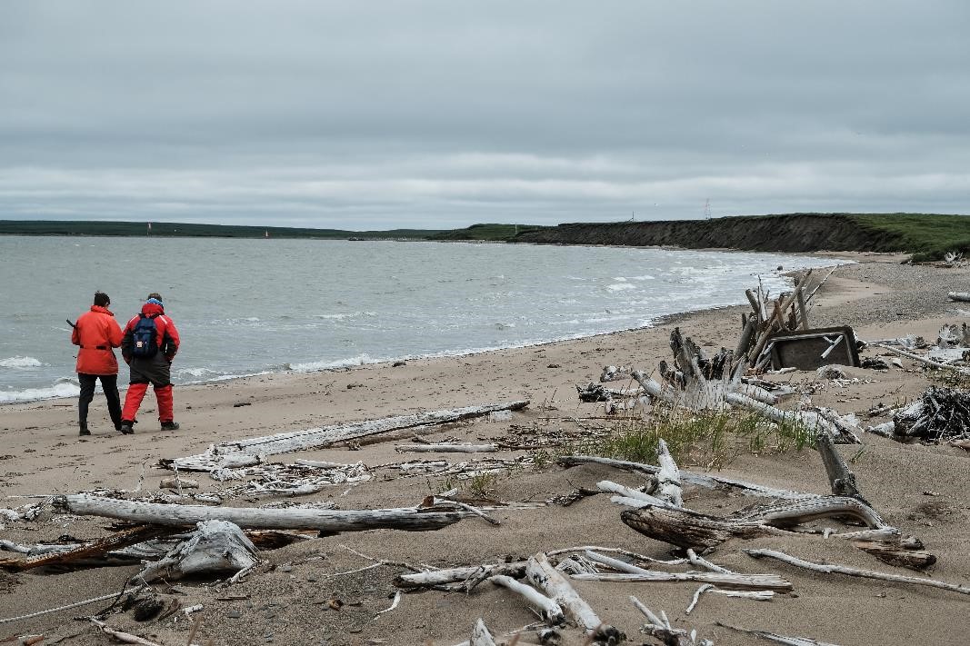
Although well above the tree line, large amounts of driftwood cover parts of the Beaufort Sea coast. Here our scientists are walking on Tuktoyaktuk Island, Northwest Territories.
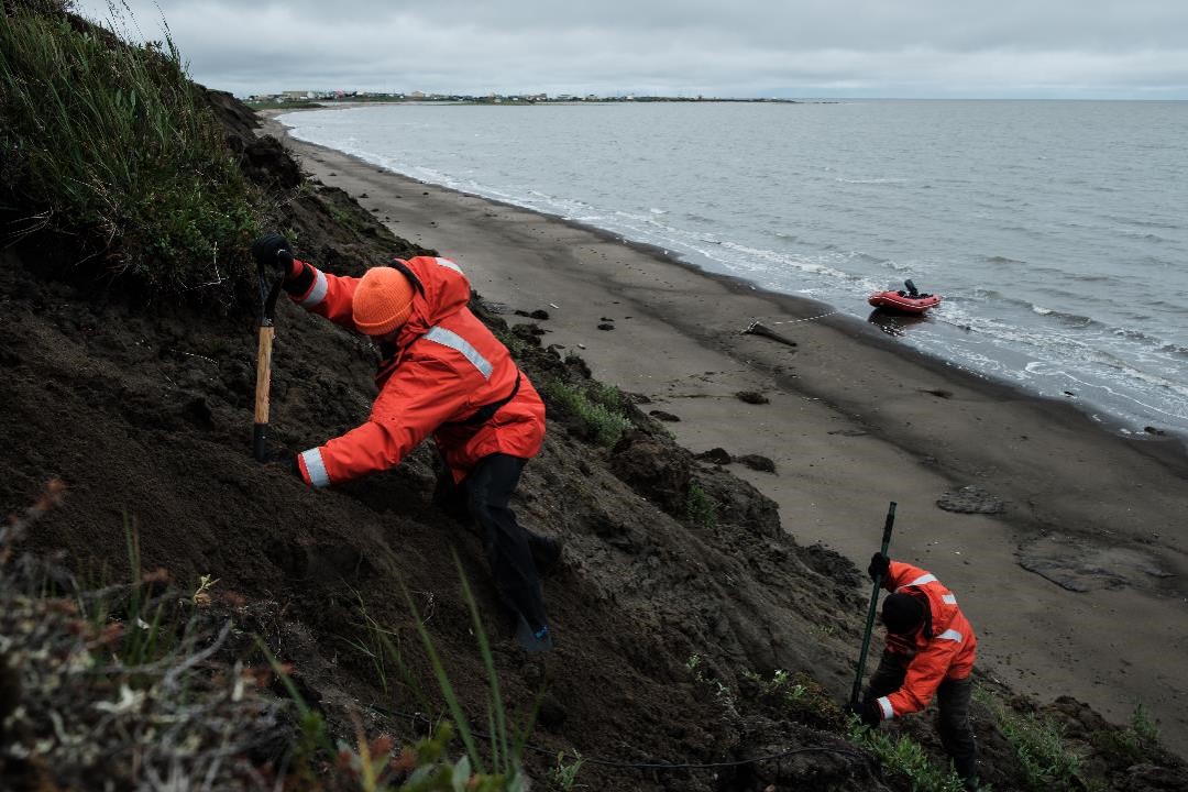
A better understanding of the relationship between the warming air temperature, ground temperature and thawing permafrost is critical to model coastal erosion in the western Canadian Arctic. Our scientists are installing a ground thermistor cable along the cliff face of Tuktoyaktuk Island, Northwest Territories.
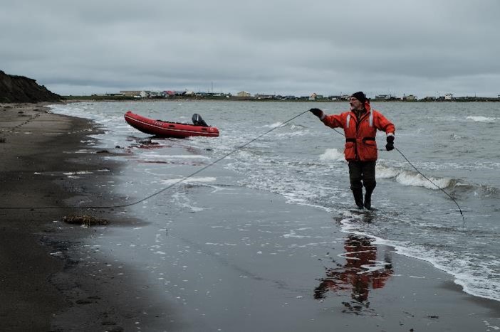
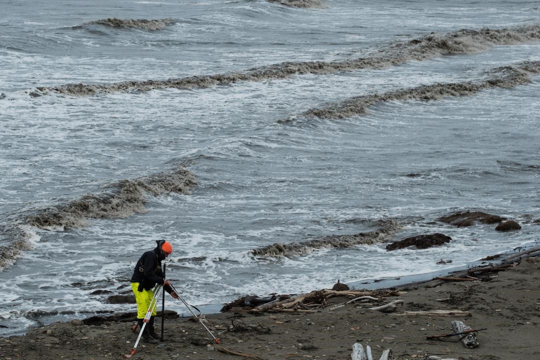
Vladimir Kostylev (Natural Resources Canada) shown here installing a thermistor cable along the beach and into the Arctic Ocean. The cable extends 400 m off shore and will provide valuable information on seasonal temperature variations in relation to coastal permafrost degradation near Tuktoyaktuk, Northwest Territories.
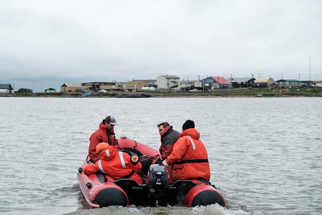
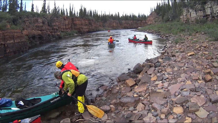
The team heading back to Tuktoyaktuk after a long day in the field. Equipment like the zodiac shown here are a key component of Arctic research and made possible through the support of NRCan’s Polar Continental Shelf Project (PCSP).
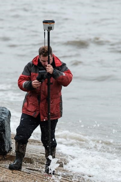
Natural Resources Canada has been studying the impacts of climate change on Arctic communities like Tuktoyaktuk, NT, for many decades. Dustin Whalen is using high-resolution GPS to measure the movement of the shore protection before, during and after a significant storm.
Related stories
Page details
- Date modified: