
Making up for lost time in Canada’s Far North
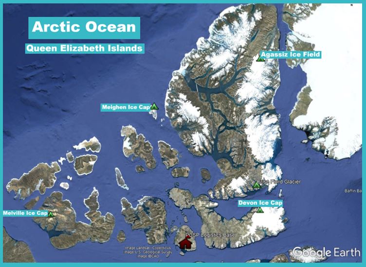
National Glaciology Project, Glacier Mass Balance (Queen Elizabeth Islands)
March 2022
Government researchers have travelled to Canada’s High Arctic each year since 1959 to measure glacier activity. And since the early 1990s, they’ve also monitored the weather stations that have been installed on the ice. But that all changed in 2020, when travel plans were abruptly cancelled due to COVID-19.
In 2021, after waiting for pandemic travel restrictions to lift, scientific research teams were eager to return north. They had still been receiving some data from their on-ice weather stations via satellite, which alerted them to rapid rates of ice melt during the summers of 2019 and 2020. Now, they had to make up for lost time, since missing just one year of observations and maintenance could cost them up to three years of data and even their on-ice equipment. These losses would be particularly severe, as studying data from weather stations and measuring changes to Canada’s glaciers are important in order for scientists to understand how climate change is affecting the area.
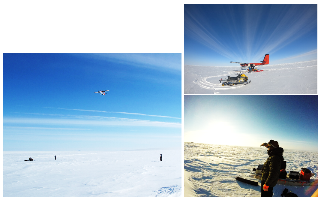
Geological Survey of Canada (GSC) glaciologists David Burgess and Bradley Danielson, along with Danielle Halle of the University of Waterloo, were among the first to make the overdue journey. Their expedition was a gruelling six-week (eight, counting the 14-day quarantine), five-stop trip to the Queen Elizabeth Islands, the northernmost cluster of islands in Canada’s Arctic Archipelago.

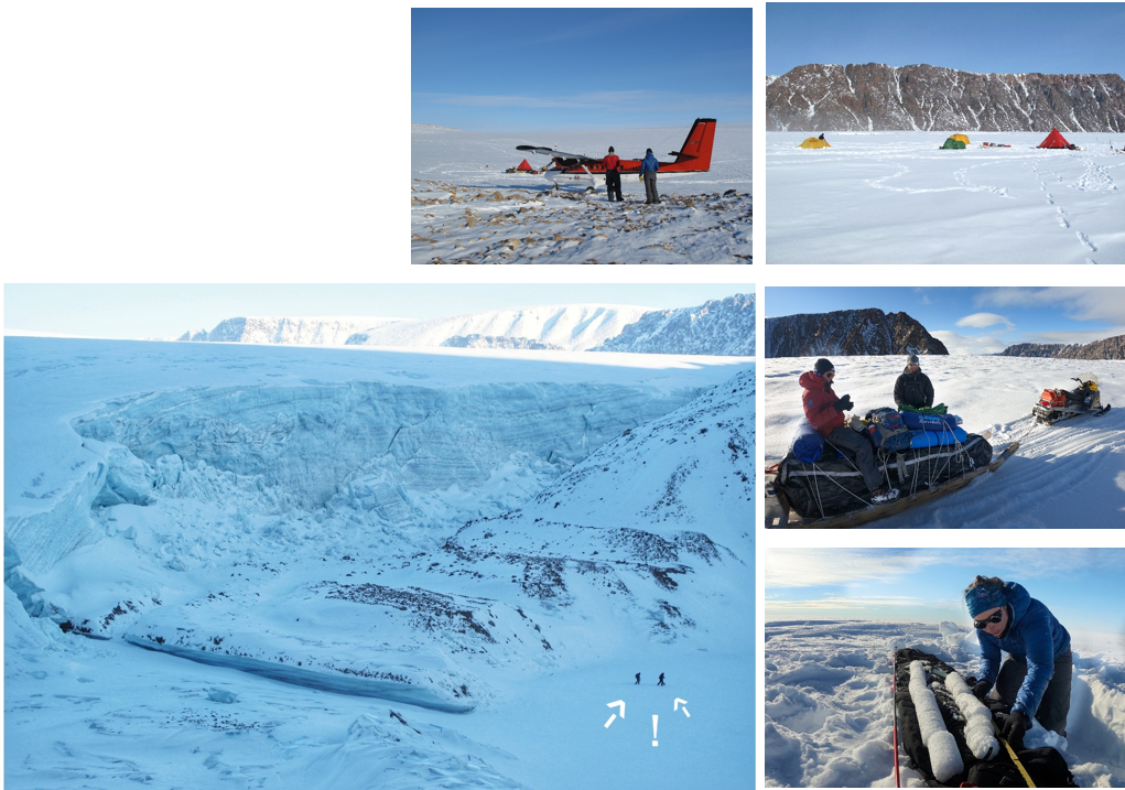
An unusual snow creature — or creation — greets the team at Agassiz Ice Field. (Photos: David Burgess and Danielle Halle)
First stop: Agassiz Ice Field — An unexpected greeting
After a 12-hour flight from Ottawa, two days in Resolute and another four-hour flight to Agassiz Ice Field, they were met by what looked like a friendly snow creature — actually, an automatic weather station completely covered in rime, an icy matrix of snow and ice that occurs when super-cooled air freezes atmospheric water vapour onto exposed objects. In harsh northern conditions, equipment like this can quickly become damaged if it’s not maintained regularly. But Bradley came to the rescue, digging out the buried weather station, while David set up base camp near the summit of the ice field.
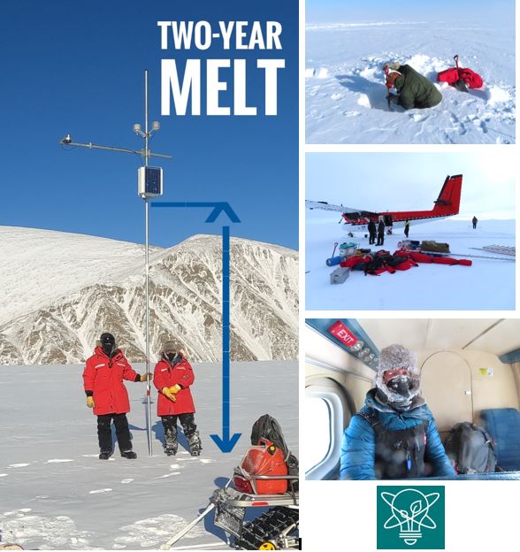
Measuring the rate of change on Agassiz Ice Field. (Photos: Bradley Danielson and Danielle Halle)
No one said it would be easy… but there was some good news
Their immediate task was to assess the glacier’s mass balance — the difference between the amounts of the winter snowfall and the summer melt — across all elevation zones. This information is highly useful, since changes in mass balance are sensitive indicators of the effects of climate change on a glacier and affect its long-term behaviour. They gathered measurements along a 45-kilometre transect line, from the summit of the ice field at 1,800 metres above sea level to the lower reaches of an outlet glacier at only 300 metres above sea level.
They had much other work to perform in their brief window of time. For the on-site data collection instruments, they found one station was still standing with its equipment was safe — despite nearly four metres of ice melt since their last visit in 2019. In the upper elevation regions of the glacier, they also dug deep to examine different layers of the snowpack and measure the quantity of snow that fell over the past two years. Having missed a year of measurement data, it was more important than ever to reconstruct the snow record — even if April temperatures average between -15 C and lows of -35 C.
Next stop: Melville Ice Cap — The Big Dig
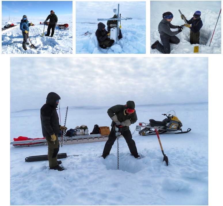
Rebuilding weather stations, collecting samples and drilling a hole for a new mass balance stake on Melville Ice Cap. (Photos: Bradley Danielson, Danielle Halle and David Burgess)
On Melville Ice Cap, so much ice had melted that the metal mast supporting the automated weather station had collapsed. Danielle and David had to rebuild it, install a new data logger and instruments, and drill holes for new mass balance stakes. These stakes are reference markers to measure the amount of snow that accumulated over winter and the amount of ice that melted the previous summer. They need to be replaced every few years, as they can eventually melt out and become useless as the glacier thins. In fact, this small ice cap has been thinning so rapidly that in recent years the team often notices new rocks poking through the ice.
Third stop: Devon Ice Cap — The longest line
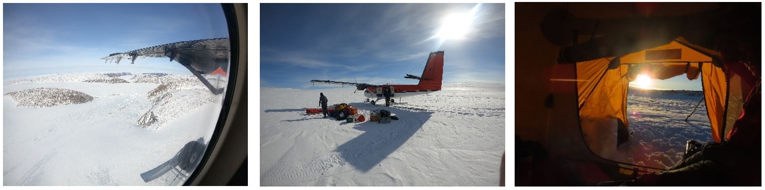
Devon Ice Cap seen from the air, on the ground and through the tent flap. (Photos: David Burgess, Bradley Danielson and Danielle Halle)
Their next stop was Devon Ice Cap, 900 kilometres from Melville and the most extensive field site of all. Here, they took measurements along an 80-kilometre transect line from the ice cap summit at 1,900 metres above sea level to the end of the Sverdrup Glacier near sea level — all while maintaining five weather stations and measuring 42 mass balance stakes along the way.
Devon Ice Cap. (Photos : Bradley Danielson and David Burgess)
While working in the ice cap’s accumulation zone — a high-elevation area where more snow falls than melts each year — the team collected two-metre-long cores of firn, a granular form of snow that has survived at least one summer and hasn’t been compressed into ice. Similar cores have been drilled out here and analyzed for 20 years. Such long-term studies tell a clear story: over this period, scientists have seen this particular accumulation zone shrink and become increasingly dense, indicating that a progressively larger portion of the ice cap is experiencing progressively more melt.
Finally: 24 hours at Meighen Ice Cap
Meighen Ice Cap. (Photos: David Burgess and Bradley Danielson)
After numerous delays due to bad weather, the team reached their final destination — Meighen Ice Cap — with less than 24 hours to complete the last of their tasks. They worked fast, and they had to: yet another severe storm system was bearing down on them, and their Twin Otter aircraft would soon be picking them up in just enough time to escape it.
Since the early 2000s, this ice cap summit has thinned by more than four metres, an unprecedented rate since they began monitoring it in 1959. The edges of the ice cap are now so thin the team had to abandon nine of their mass balance measurement stakes because these locations are now bare rock. Every year of measurement matters when an ice cap is changing this quickly.
A happy ending…at least until next time
The 2021 expedition took a lot — 50 days away from home, multiple storm systems, equipment challenges, unexpected finds — but it was now complete and a success on all fronts: the team had made up for lost time and missing data; they had taken their measurements; and they made sure that all the equipment was ready to withstand another harsh season.
But northern science — just like the ice and snow at the top of the world — never stops. This April, the team is heading out on its 2022 expedition to help understand the past, present and future of the glaciers in Canada’s North.
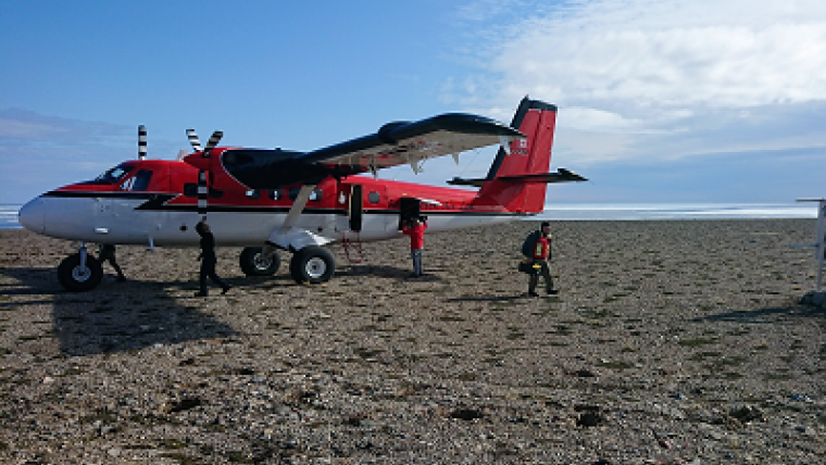
This expedition was made possible through NRCan’s Polar Continental Shelf Program (PCSP). This long-standing centre of excellence has a well-developed logistics network that includes everything — from base camp gear, chartered aircraft and snowmobiles to a year-round hub in Resolute, Nunavut — that helps scientists focus on their important studies.
For more information:
Explore:
Related stories

Page details
- Date modified: